

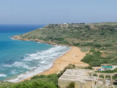



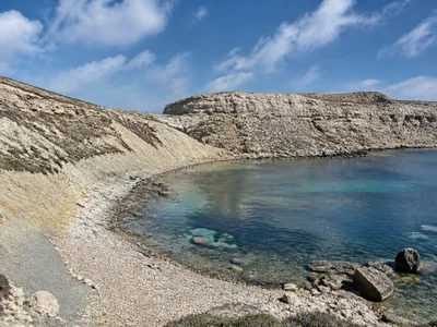




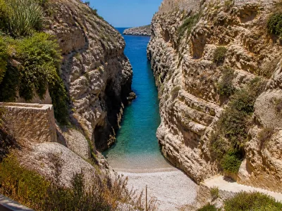
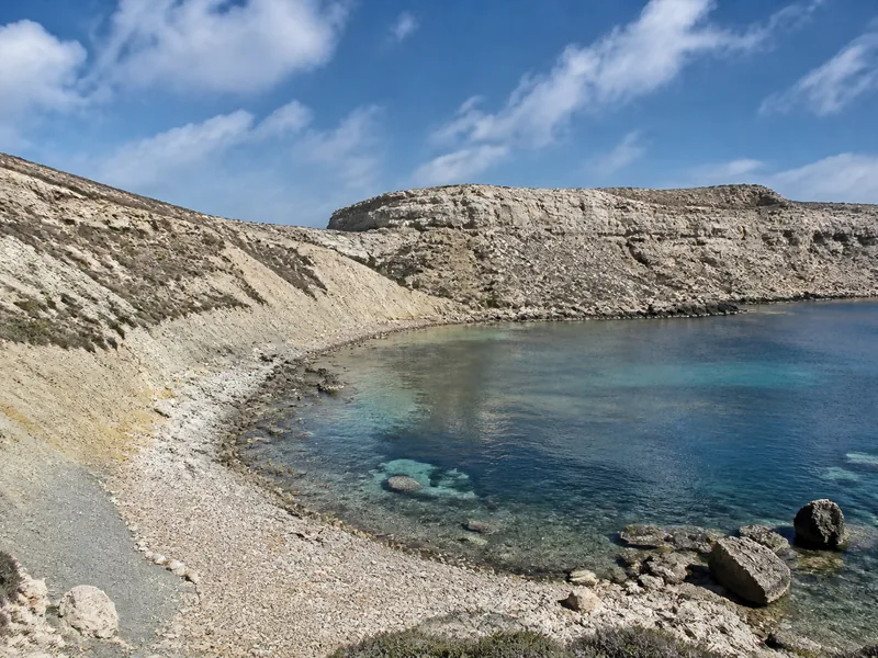
On Malta’s wild west coast, Fomm ir-Riħ is a small, spectacular pebble bay beneath sheer limestone. Go if you want solitude, geology and sea that glows blue, not if you need an easy path or any services. Its Maltese name means “mouth of the wind”, a fair warning for a headland that faces the open sea and can feel raw when the west blows.
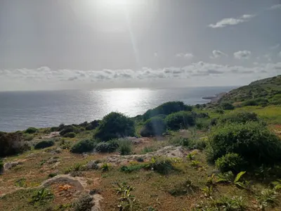
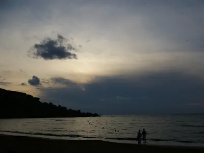
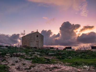
Whether it is right for you depends on season, wind and how sure‑footed you are. Avoid July and August, when temperatures are often above 35°C and there is no shade. Come in spring for green slopes and flowers, or in early autumn when the sea is still warm but the light is softer. It is a good spot for sunsets.
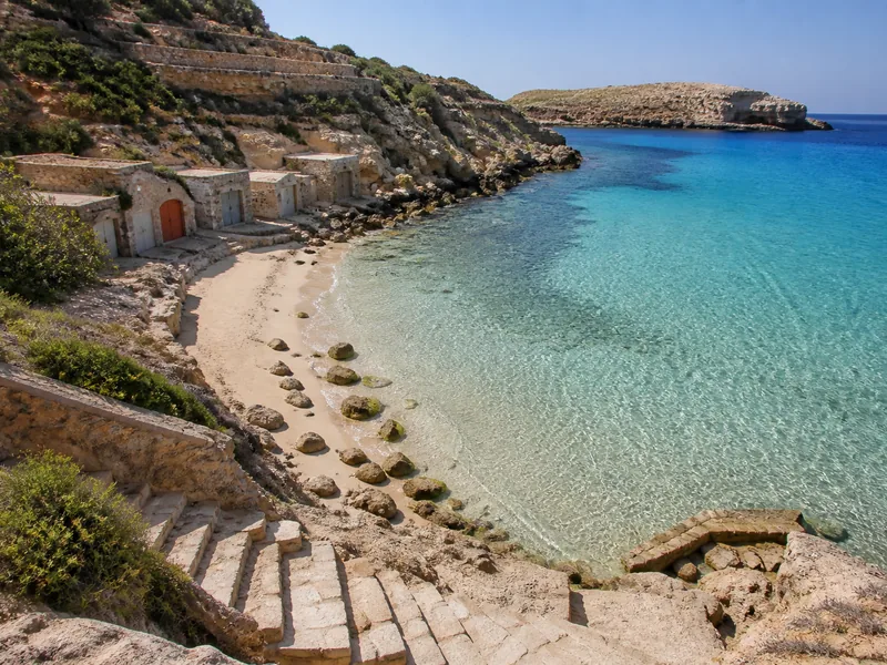
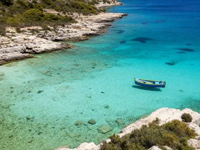
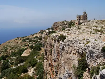
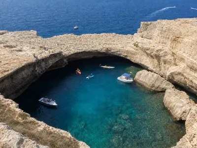
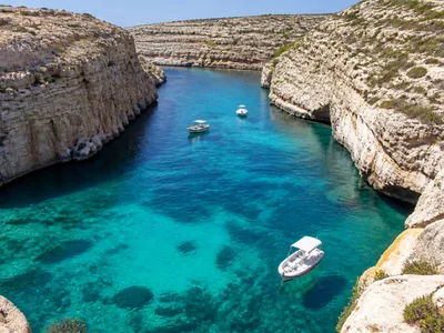
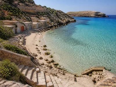
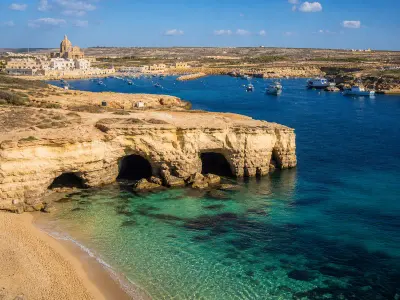
Fomm ir-Riħ sits on the western side of Malta in the Mġarr countryside, with Baħrija the nearest settlement. The bay sits beneath vertical cliffs formed by a fault line. An unusual syncline lies just behind the beach. The water here is bright blue and often crystal clear, with rocks visible under the surface, and the headland frames the bay in a tight V so the views out to sea feel dramatic.
Public access is disputed. One approach road has long been reported as blocked and local walkers have protested the situation. The practical result is that you leave the main road network near Baħrija and continue a downhill stretch of about 2 km to a small dirt parking area on the cliff edge, surrounded by private land. GPS apps can try to send you down the wrong lane, so follow the route via Rabat and Baħrija rather than improvising. A narrow cliff-side path and a climb down are the current access.
The path is for confident walkers. The trail is steep, rocky, slippery and unmarked, with no signage. Some old steps on the lower section have been destroyed, so expect short scrambles and loose pebbles underfoot. Hiking shoes or firm trainers make a big difference and you should carry more water than you think, because there is no shade on the descent or the beach.
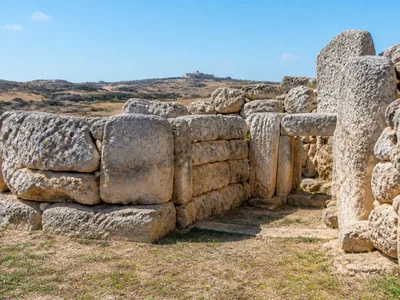
Down at sea level the reward is silence and space. There are no sunbeds, no beach bars and no lifeguards, and no buildings at all, which is exactly why it stays quiet even on fine days. If you keep an eye on the light, you can walk about 15 minutes from the beach up towards a prominent standing stone on the skyline for an elevated view, though the approach includes broken steps and some easy climbing.
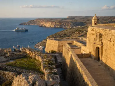
This coast is as interesting above the waterline as in it. Cart ruts on Ras il-Pellegrin lead off the cliff top. A short way inland, a small redoubt that forms part of the Victoria Lines dates from the 19th century. Earlier coastal watching here was by Blat Mogħża Tower, built in the mid‑17th century, which collapsed in the 18th century and was never rebuilt.
Wildlife has its niches in this hard landscape. The Maltese freshwater crab has habitat high above the bay. After the first rains the slopes flush green and bloom through winter and spring, then bake back to yellow and brown in summer, so the place looks like two different coasts depending on when you come.
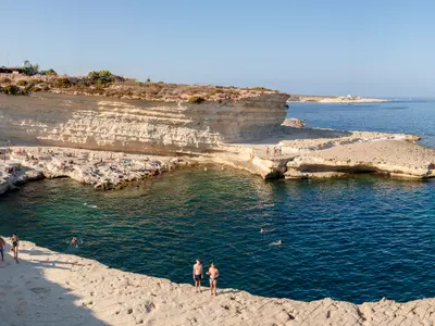
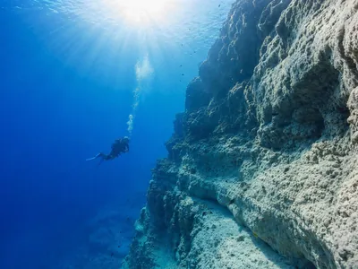
If you are here for the water, pick a calm day. When the wind is down the sea is glass‑clear and good for a snorkel along the rocks, with easy entry over pebbles. Autumn remains warm enough to swim, but any westerly swell can make the shore break rough very quickly and there are no lifeguards.
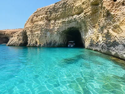
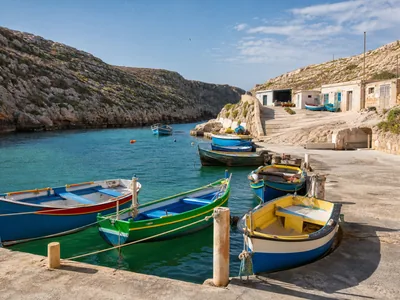
Bring good shoes, plenty of water and a small torch if you plan to stay for the light in the evening, as the final path is awkward in the dark. Pack out every scrap, because there are no bins. Small boats and kayaks sometimes nose in from the open coast when the sea is calm, which is a hint at another way to enjoy the bay without the climb.
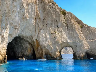
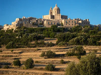
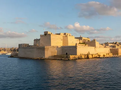
If this kind of wild edge appeals, pair it with Malta’s other high ground and sea‑cliff days like Dingli Cliffs or the arch and inlets around Blue Grotto. For a sandy alternative not far away, look at Golden Bay Ghajn Tuffieha. And if you are basing yourself in the old towns, it slots well with a morning in Mdina Rabat or an evening back in Valletta once the sun is down.
Plan on about 4 hours.
Common questions
Where is Fomm ir-Riħ and what kind of place is it?
On the west side of Malta near Mġarr and Baħrija, it is a small, wild pebble bay under towering cliffs with clear, bright blue water and unusual geology.
How do I get to the start of the trail?
Drive via Rabat and Baħrija, then continue a downhill stretch of about 2 km to a small cliff‑edge car park. GPS apps sometimes try to send you onto blocked roads or private property, so follow the Rabat–Baħrija route and look for the final dirt track near the cliffs.
What is the path like and who should avoid it?
The trail is steep, rocky, slippery and unmarked, with no signage. It is not suitable for toddlers, strollers or anyone with mobility issues. Wear good shoes and carry water.
When is the best time to go?
Spring brings green cliffs and wildflowers, and September to October keep the sea warm for swims. Avoid July and August, when temperatures are often above 35°C and there is no shade.
Can I swim there and what are sea conditions like?
Yes, on calm days the water is crystal clear with rocks visible under the surface. Autumn is still good for swimming. Westerly winds can bring swell, and there are no lifeguards.
Are there any facilities or shade?
None. There are no sunbeds, no beach bars and no lifeguards, and there is no natural shade at the beach.
How long should I allow for a visit?
Plan on about 4 hours, which covers the walk in and out, time on the beach and a short look at the geology above the bay.
Last checked: 5 November 2026. Prices, opening hours and timetables change, verify anything time-sensitive before you travel. Photo: R Muscat, CC BY-SA 2.0.